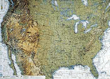
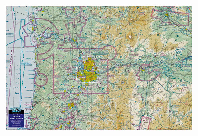
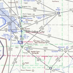
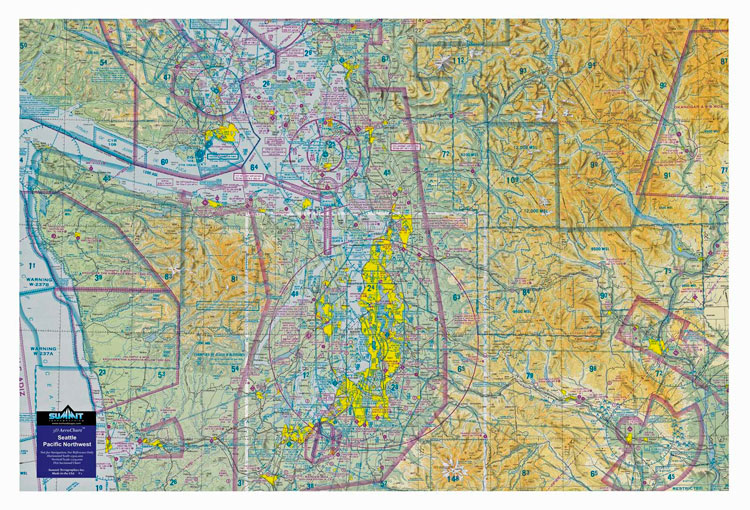
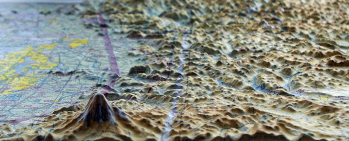
3d Aerochart Seattle - Pacific Northwest
Артикул: 13-11713
16392 13660 руб.
Наличие: – Есть в наличии у нашего поставщика. Доставка на наш склад в течение 5...6 недель после оплаты Вами заказа.
Overview
| This 3D sectional wall chart is precisely molded into the true shape of Seattle and northwest Washington terrain. This unique chart covers from the Olympic Peninsula and Pacific Ocean to Mt. Rainier and the Northern Cascades -- 238 miles of dramatic topography. Displayed on a wall of a home, office or hangar, these 3D charts make for a striking display of the mountainous terrain and how the hazardous high terrain relates to aviation/airspace. Northwest mountain pilots will study this chart again and again to review past flights or plan new ones. Made with a digital inkjet printing process on a rigid plastic sheet, which is then molded to a precise terrain model. |