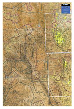
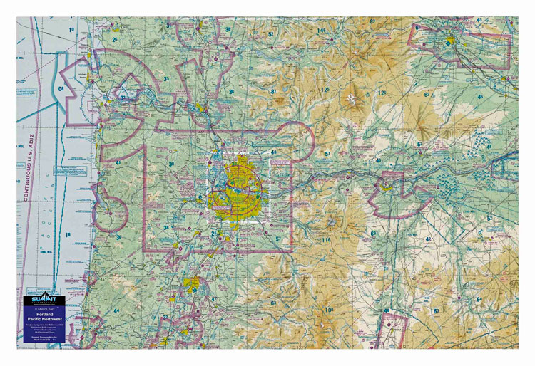
3-d Aeronautical Chart - Denver

Артикул: 13-10006

16392 13660 руб.

Наличие: – Есть в наличии у нашего поставщика. Доставка на наш склад в течение 5...6 недель после оплаты Вами заказа.

Overview


Click here to see a product brochure.


This 3D sectional chart is precisely molded into the true shape of the Rocky Mountain terrain. The chart covers from Denver and Colorado Springs in the east to Aspen and Glenwood Springs in the west, and from north-to-south over 238 miles of dramatic topography. Displayed on a wall, these charts make for a striking display of the mountainous Rockies and how the hazardous high terrain relates to aviation/airspace. Colorado mountain pilots will value studying this chart again and again to review past flights or plan new ones.

The precisely molded 3D shape allows pilots to see and feel the terrain shape and clearly understand how it relates to the airspace and flight. Pilots will value referencing this chart for flight planning, training, and as a general conversation piece, whether hung on a wall of an office, hangar, or home.

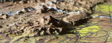
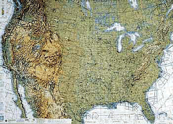
High-resolution satellite imagery and maps provide extraordinary earth detail. But it's the proprietary print and molding process that transforms those images into 3D maps with a whole new level of geographic realism.