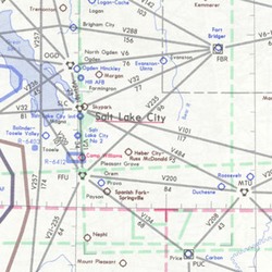
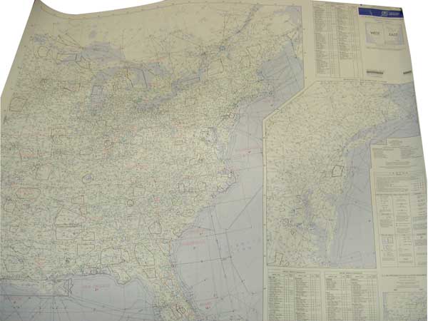
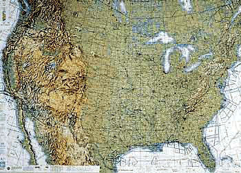
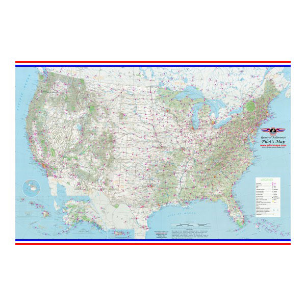
| U.S. IFR/VFR Low Altitude Planning Charts is designed for preflight and enroute flight planning for IFR/VFR flights. The chart is printed front-East, back-West, with insets for the east coast from Washington, D.C. to Boston and on the west coast, the Los Angeles/San Diego area. Information includes the depiction of low altitude LF/MF and VHF airways and mileages, navigational facilities, airports, special use airspace areas, cities, time zones, major drainage, a directory of airports with their airspace classification and a mileage table showing great circle distances between major airports, 40 x 36 inches. Revised annually. |