Nav Canada Wac Charts
Overview
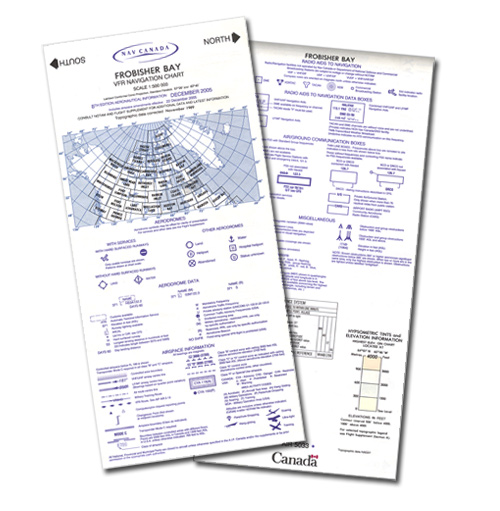
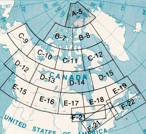
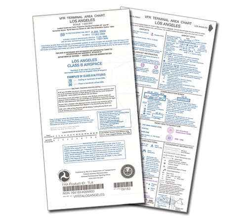
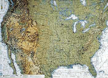
| The VNC is used by VFR pilots on short to extended cross-country flight at medium altitudes and at low to medium airspeeds. These charts show aerodrome data, airspace information, radio aids to navigation, air/ground communications, and elevation with contour lines, tints and shaded relief. NOTE:WACD12, WACD13, WACE15, WACE16 have been withdrawn from circulation. A list of equivalent VNCs for each of the withdrawn WAC charts is provided by clicking here or visit Nav Canada website website for more information. |


