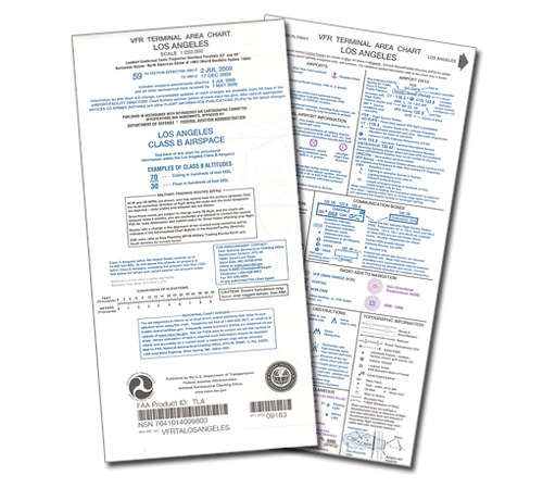
Aeronav Ifr Enroute High Altitude Charts

Overview
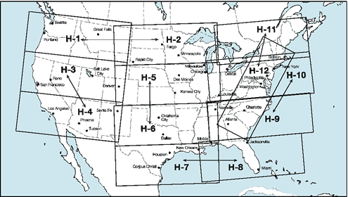
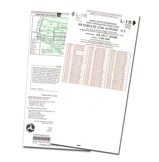
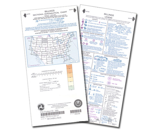
| IFR Enroute High Altitude Charts (Conterminous U.S. and Alaska) are designed for navigation at or above 18,000 feel MSL. This four color chart series includes: Jet route structure; VHF radio aid to navigation (frequency, ID, channel, geographic coordinates); selected airports; reporting points. (Scales vary from 1 inch = 78nm to 1 inch = 30nm. 55 x 20 inches folded to 5 x 10 inches.) Revised every 8 weeks. KEEP YOUR CHARTS CURRENT WITH OUR SUBSCRIPTION SERVICE!Take the hassle out of remembering to re-order new navigation charts at every revision by signing up for chart revision service with us. To order a subscription, put a quantity of 1 in the Subscribe column for each chart you would like the subscription for, then click the "Add to Cart" button at the bottom of the table. Once in the cart, you will be asked if you would like the current chart now, or start with the next revision. You will then recieve the new editions of each chart automatically when they are issued indefinitely until you cancel the subscription. Your credit card will be billed when we ship you each new chart. Count on us for all your navigation chart requirements! |